
McMillin 🇺🇸
-
Nautical Twilight begins:04:38 amSunrise:05:55 am
-
Sunset:08:18 pmNautical Twilight ends:09:34 pm
-
Moonrise:01:57 am
-
Moonset:09:36 am
-
Moon over:05:46 am
-
Moon under:06:08 pm
-
Visibility:68%
-
 Third Quarter Moon
-
Distance to earth:374,649 kmProximity:72.9 %
Moon Phases for McMillin
-
poor Day
-
minor Time:12:57 am - 02:57 am
-
major Time:
 04:46 am -
06:46 am
04:46 am -
06:46 am
-
minor Time:08:36 am - 10:36 am
-
major Time:05:08 pm - 07:08 pm
Tide Clock
Tide Graph
Times
| Tide | Time | Height |
|---|---|---|
| low | 04:21 am | 8.5 ft |
| high | 08:16 am | 11.19 ft |
| low | 04:13 pm | -1.35 ft |
| high | 11:53 pm | 13.06 ft |
| Date | Major Bite Times | Minor Bite Times | Sun | Moon | Moonphase | Tide Times |
|---|---|---|---|---|---|---|
|
Mon, 29 Apr
|
04:46 am -
06:46 am
05:08 pm -
07:08 pm
|
12:57 am -
02:57 am
08:36 am -
10:36 am
|
R: 05:55 am S: 08:18 pm |
R: 01:57 am S: 09:36 am |
Third Quarter Moon |
low: 04:21 am
, 8.5 ft
high: 08:16 am
, 11.19 ft
, Coeff: 55
low: 04:13 pm
, -1.35 ft
high: 11:53 pm
, 13.06 ft
, Coeff: 78
|
|
Tue, 30 Apr
|
05:45 am -
07:45 am
06:02 pm -
08:02 pm
|
01:40 am -
03:40 am
09:51 am -
11:51 am
|
R: 05:53 am S: 08:19 pm |
R: 02:40 am S: 10:51 am |
Third Quarter Moon |
low: 05:37 am
, 8.43 ft
high: 09:13 am
, 10.56 ft
, Coeff: 48
low: 05:11 pm
, -0.85 ft
|
|
Wed, 01 May
|
06:43 am -
08:43 am
06:56 pm -
08:56 pm
|
02:13 am -
04:13 am
11:13 am -
01:13 pm
|
R: 05:51 am S: 08:21 pm |
R: 03:13 am S: 12:13 pm |
Third Quarter Moon |
high: 12:57 am
, 13.02 ft
, Coeff: 78
low: 07:07 am
, 7.84 ft
high: 10:46 am
, 9.88 ft
, Coeff: 39
low: 06:14 pm
, -0.2 ft
|
|
Thu, 02 May
|
07:37 am -
09:37 am
07:47 pm -
09:47 pm
|
02:39 am -
04:39 am
12:36 pm -
02:36 pm
|
R: 05:50 am S: 08:22 pm |
R: 03:39 am S: 01:36 pm |
Third Quarter Moon |
high: 01:52 am
, 13.19 ft
, Coeff: 80
low: 08:19 am
, 6.69 ft
high: 12:28 pm
, 9.55 ft
, Coeff: 35
low: 07:20 pm
, 0.52 ft
|
|
Fri, 03 May
|
08:28 am -
10:28 am
08:37 pm -
10:37 pm
|
02:59 am -
04:59 am
01:58 pm -
03:58 pm
|
R: 05:48 am S: 08:23 pm |
R: 03:59 am S: 02:58 pm |
Waning Crescent |
high: 02:35 am
, 13.48 ft
, Coeff: 83
low: 09:10 am
, 5.09 ft
high: 02:01 pm
, 9.81 ft
, Coeff: 39
low: 08:24 pm
, 1.35 ft
|
|
Sat, 04 May
|
09:18 am -
11:18 am
09:27 pm -
11:27 pm
|
03:17 am -
05:17 am
03:20 pm -
05:20 pm
|
R: 05:47 am S: 08:25 pm |
R: 04:17 am S: 04:20 pm |
Waning Crescent |
high: 03:11 am
, 13.81 ft
, Coeff: 87
low: 09:51 am
, 3.22 ft
high: 03:24 pm
, 10.56 ft
, Coeff: 48
low: 09:25 pm
, 2.3 ft
|
|
Sun, 05 May
|
10:09 am -
12:09 pm
10:19 pm -
12:19 am
|
03:35 am -
05:35 am
04:44 pm -
06:44 pm
|
R: 05:45 am S: 08:26 pm |
R: 04:35 am S: 05:44 pm |
Waning Crescent |
high: 03:44 am
, 14.14 ft
, Coeff: 91
low: 10:31 am
, 1.28 ft
high: 04:36 pm
, 11.58 ft
, Coeff: 60
low: 10:21 pm
, 3.41 ft
|


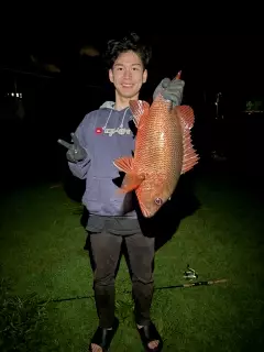
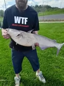
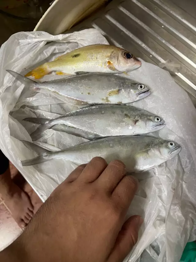
uploaded by: Mr.Chow
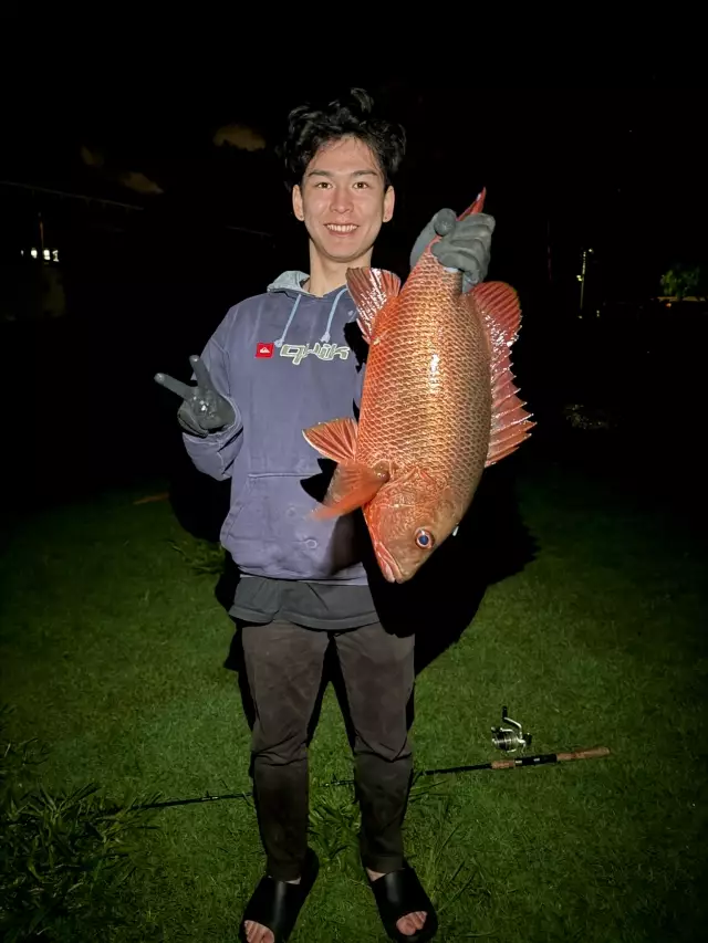
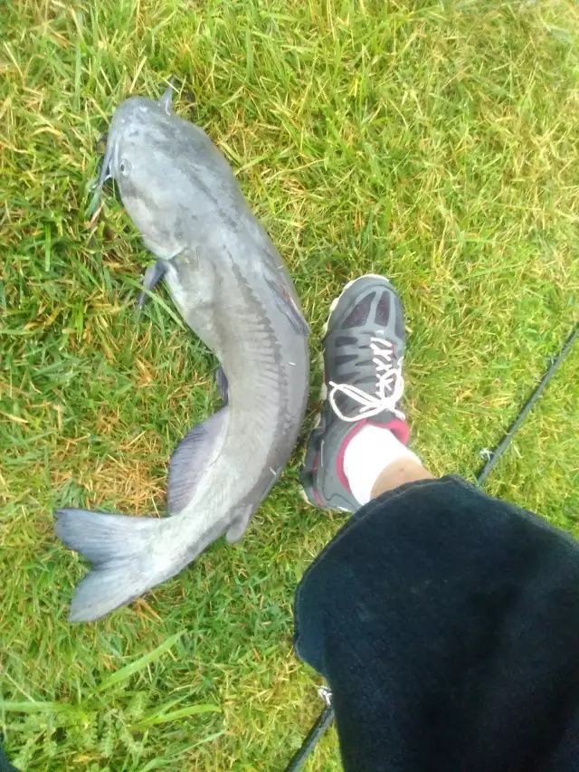
uploaded by: Mr.Chow
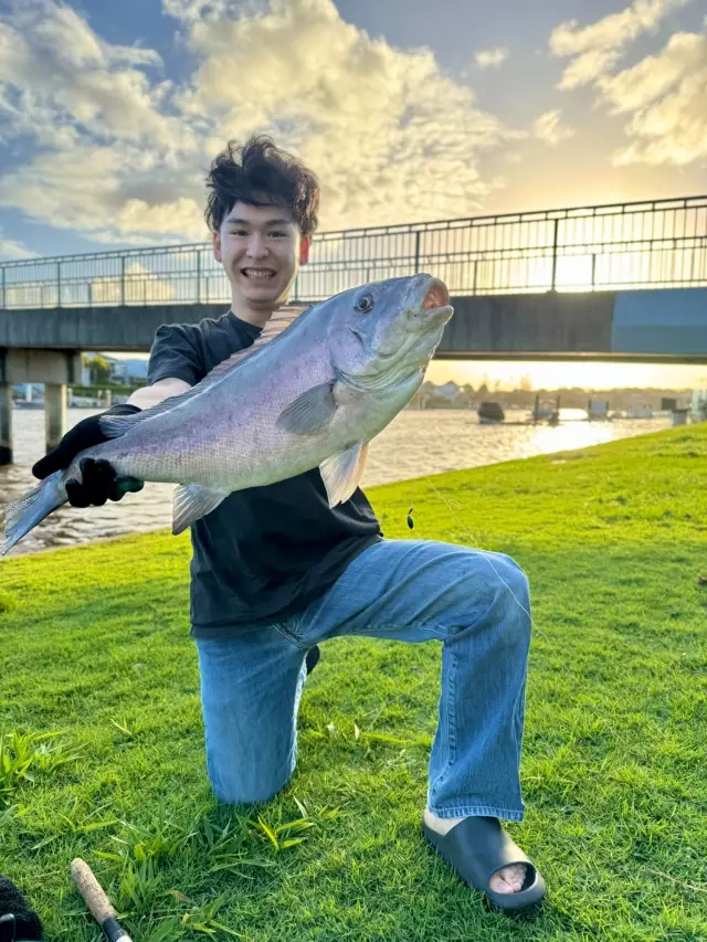
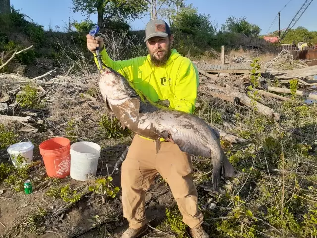
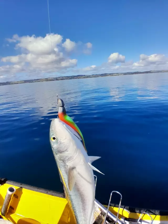
uploaded by: Chadderikk
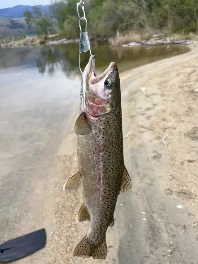
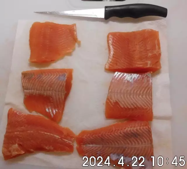
uploaded by: Mike Brooks (Savage)
uploaded by: Mike Brooks (Savage)
uploaded by: Terry Foster
uploaded by: Doug Parr
uploaded by: Ahmed Elbasha
uploaded by: Hoza
uploaded by: PT Edward fisher
Best Fishing Spots in the greater McMillin area
Harbours and Marinas can often times be productive fishing spots for land based fishing as their sheltered environment attracts a wide variety of bait fish. Similar to river mouths, harbour entrances are also great places to fish as lots of fish will move in and out with the rising and falling tides. There are 7 main harbours in this area.
Portland Avenue Reservoir Dam - 16km, Turning Basin - 17km, Upper Turning Basin - 17km, Lower Turning Basin - 18km, Hylebos Waterway - 19km, Chinook Landing Marina - 20km, Foss Harbor Marina - 20km
We found a total of 91 potential fishing spots nearby McMillin. Below you can find them organized on a map. Points, Headlands, Reefs, Islands, Channels, etc can all be productive fishing spots. As these are user submitted spots, there might be some errors in the exact location. You also need to cross check local fishing regulations. Some of the spots might be in or around marine reserves or other locations that cannot be fished. If you click on a location marker it will bring up some details and a quick link to google search, satellite maps and fishing times. Tip: Click/Tap on a new area to load more fishing spots.
McMillin Bridge - 1km , McMillin North Reservoir Number One Dam - 2km , McMillin Reservoir Number Two Dam - 2km , McMillin South Reservoir Number One Dam - 2km , Trout Springs Hatchery Dam - 3km , Bradley Lake Dam - 4km , Rhode Lake - 5km , Bonney Lake - 7km , Debra Jane Lake - 7km , Soldiers Pond - 7km , Sumner Pit Dam - 7km , Lake Tapps Dike Number 13 - 8km , Pony Lake - 8km , Puyallup River Bridge North Meridian - 8km , Leaky Lake - 9km , Bankers Island - 10km , Deer Island - 10km , Interlake Island - 10km , Island Twentyone - 10km , Maple Point - 10km , Printz Basin North Dike Dam - 10km , Printz Basin South Dike Dam - 10km , Scout Island - 10km , Lake Chalet - 11km , Driftwood Point - 11km , Firwood Pit Dam - 11km , Forest Lake - 11km , Island B - 11km , Emery Pond Dam - 12km , Hole in the Wall - 12km , Island A - 12km , Lake Tapps Dike Number 12 - 12km , Lake Tapps Dike Number Five Dam - 12km , Lake Tapps Dike Number Four Dam - 12km , Lake Tapps Dike Number One Dam - 12km , Lake Tapps Dike Number Seven Dam - 12km , Lake Tapps Dike Number Six Dam - 12km , Tacoma Point - 12km , Bowman Lake - 13km , Evergreen Point - 13km , Hille Lake - 13km , Lake Tapps Dike Number 10 - 13km , Lake Tapps Dike Number 11 - 13km , Lake Tapps Dike Number 2A - 13km , Lake Tapps Dike Number 2B - 13km , Lake Tapps Dike Number Eight Dam - 13km , Lake Tapps Dike Number Nine Dam - 13km , Surprise Lake - 13km , Morgan Lake - 14km , Trout Lake - 14km , Fivemile Lake - 15km , Lake Tapps Dike Number Three Dam - 15km , Mud Lake - 16km , Portland Avenue Reservoir Dam - 16km , Spider Lake - 16km , Brook Lake - 17km , Lake Geneva - 17km , Lake Killarney - 17km , Turning Basin - 17km , Upper Turning Basin - 17km , Puyallup Avenue Bridge Interstate 5 - 17km , Puyallup Avenue Bridge Puyallup Avenue - 17km , Electron Reservoir Dam - 18km , Fairfax Bridge - 18km , Lake Kapowsin - 18km , Lindstrom Dam Number One - 18km , Lindstrom Dam Number Two - 18km , Lower Turning Basin - 18km , Marlake - 18km , Weyerhaeuser Dam - 18km , White Lake - 18km , East Lincoln Avenue Bridge - 18km , Puyallup Avenue Bridge State Highway 509 - 18km , City Waterway - 19km , Hylebos Waterway - 19km , North Lake - 19km , Twin Lakes - 19km , Green River Bridge - 19km , Hylebos Waterway Bridge - 19km , Chihuly Bridge of Glass - 19km , Benbow Lakes - 20km , Byron Lake - 20km , Lake Holm - 20km , Middle Waterway - 20km , Milwaukee Waterway - 20km , Puyallup Waterway - 20km , Saint Paul Waterway - 20km , Sitcum Waterway - 20km , Lake Whitman - 20km , Chinook Landing Marina - 20km , Foss Harbor Marina - 20km
Comments